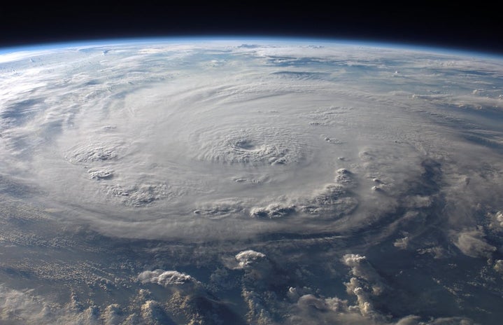
Within the past month, anyone on Susquehanna University’s campus has gotten a taste of what central Pennsylvanian weather has to offer. With a total of four campus weather alerts sent out, temperatures ranging from the mid-eighties to the high thirties, and a run-in with the devastating Hurricane Ida, here is an overview of September’s weather trends.
- temperature
-
Last month’s temperatures ranged wildly; we’ve had our fair share of unbearable heat and morning chills. The average high temperature was 76.1° Fahrenheit while the average low was 54.3°. The highest temperature recorded was 85° on Sept. 15, while the lowest temperature of 39° occurred on Sept. 30.
Sept. 2021 was about as warm as Sept. 2020. According to data provided by Accuweather, the average temperature in 2020 was 76.3°, which is 0.2° warmer than last month’s average.
The harshest changes in temperature were almost always observed in the days after a storm. An example of this is the storm on Sept. 8. The high temperature before the thunderstorm was 84°; the high temperature on Sept. 9 was 76°. This is because the act of rainfall itself is a cooling process, as the cool water quickly spreads its temperature into the warmer air. Storms also tend to blow through with a cold front, further contributing to a drop in temperature.
- weather patterns
-
According to en.climate-data.org, the average amount of precipitation in Selinsgrove in September is 4.3 inches. The site also states that there is an average of seven rainy days in Sept. (In meteorology, a rainy day is defined as a period of 24 hours in which 2.5mm+ of rainfalls).
In Sept. 2021, there were approximately seven sunny days, ten partly cloudy days, and thirteen days when precipitation fell. Only a select few of those days were meteorologically rainy days.
- severe weather
-
Four campus weather alerts were sent out during the month of September. Two alerts (on Sept. 8 and 15) were severe thunderstorm warnings. A severe thunderstorm watch was issued on Sept. 13, and a flash flood warning was issued on Sept. 1.
- hurricane ida
-
On Sept. 1, 2021, remnants of Hurricane Ida drenched central Pennsylvania throughout the entire day. The National Weather Service considers the event one of the “Top 5 Wettest Days” in the history of central PA. Although the storm was only a tropical depression at the time it made landfall in PA, it dumped over seven inches of rain in certain areas throughout the region. Moderate flooding, business and school closures, and the destruction of infrastructure were observed in the aftermath of Ida throughout the region.
Although the Northeast has suffered at the hands of Ida, the brunt of the damage occurred within the South. Areas of Louisiana and Mississippi were left devastated after the hurricane, and Ida has been named the second most intense storm to ever hit Louisiana. Attached to this article is a link to a New York Times post with resources and information about donating to victims of the storm. Charities like the Red Cross are still accepting donations for those affected by the storm as of the time this article was written.
- October predictions
-
According to Accuweather, October is set to be cool and cloudy with a gradual drop in temperatures as the month continues on. The peak of tropical activity is mid-August to mid-October, so the development of tropical storms and hurricanes cannot be fully ruled out. The 2021 hurricane season has been very active so far and shows no signs of slowing.
The weather here in central Pennsylvania can be a gamble: there is just as much good as there is bad. For every rainy day, we’ve had a day that is seasonally cool and gorgeous, especially during our recent “Family Weekend.” October is bound to bring the same, so check your forecast, keep an umbrella in your dorm, and enjoy the beautiful Pennsylvanian climate.


